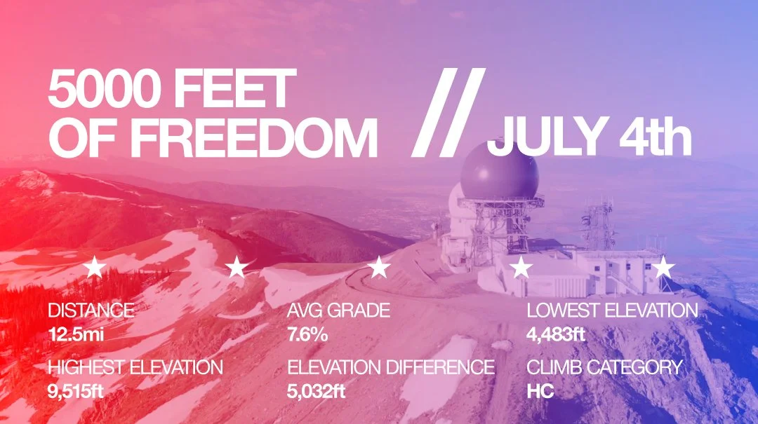
Information graphic about a mountain hike or trail on July 4th, highlighting 5000 feet of elevation, 12.5 miles distance, highest elevation of 9515 feet, lowest elevation of 4483 feet, and an elevation difference of 5032 feet, with the climb categorized as HC.
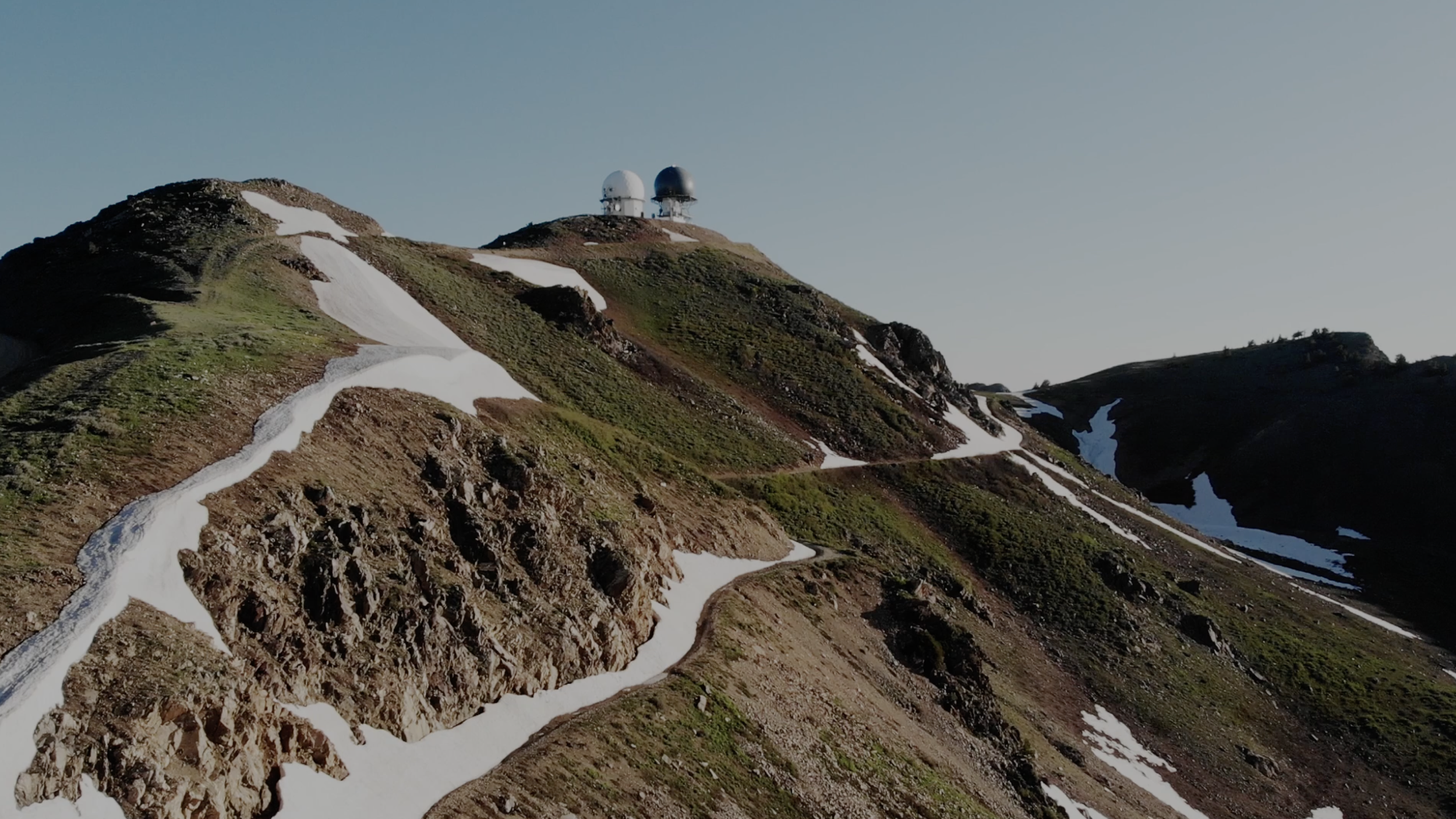
Francis Peak with snow patches on a mountain with radar domes at the summit under clear sky.

Keeping the long-standing tradition alive! There is no better time to celebrate your freedom to climb mountains than our nation’s Independence Day in Farmington Canyon. #5000fof

The route is roughly 25.5 miles, round-trip. You can access the STRAVA route here.

THE ROUTE
JULY 4th

Since this isn’t an official event, there's no set start time, but most roll out from the parking lot around 6 am.

This is not a sanctioned ride in any way, shape, or form. This is not a sponsored event, nor is this a race. Come as you are, ride at your own risk and pace.
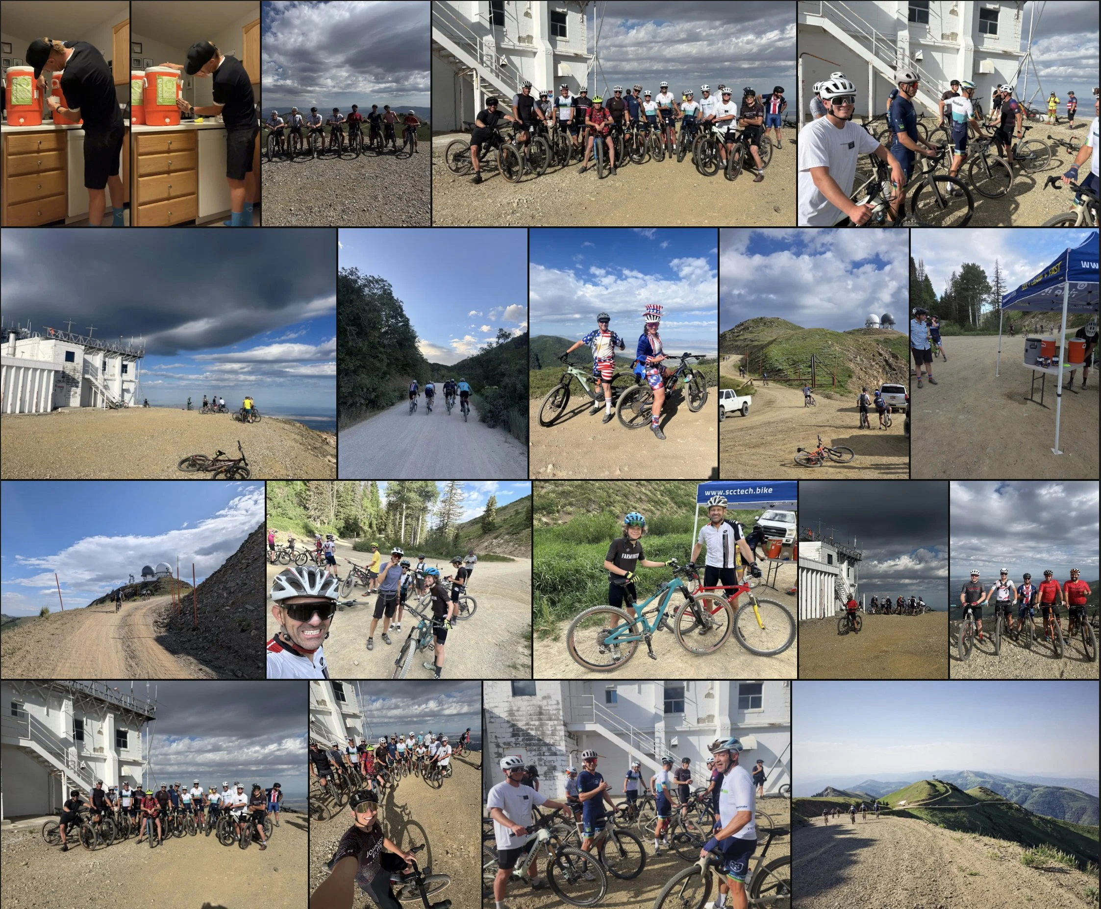
A collage of photos showing a group of cyclists at a scenic outdoor location with mountainous terrain, cloudy sky, and a building with a white exterior. The group is seen riding, posing with their bikes, and socializing, with some wearing helmets and cycling gear. Other photos include a cloudy sky over a beach, a lighthouse, and people gathered under a tent.

5000’ of Gravel
Bottom of Farmington Canyon to the top of Francis Peak and back. It's roughly a 13-mile climb and a bit over 5K of climbing.

For those that haven't been up there... It's a big, dusty dirt road. Mountain or Gravel bikes are recommended. USE CAUTION as the road is open to the public, and you should expect motor vehicle traffic at all times. PLEASE BE COURTEOUS and provide passing room to others using the road. 
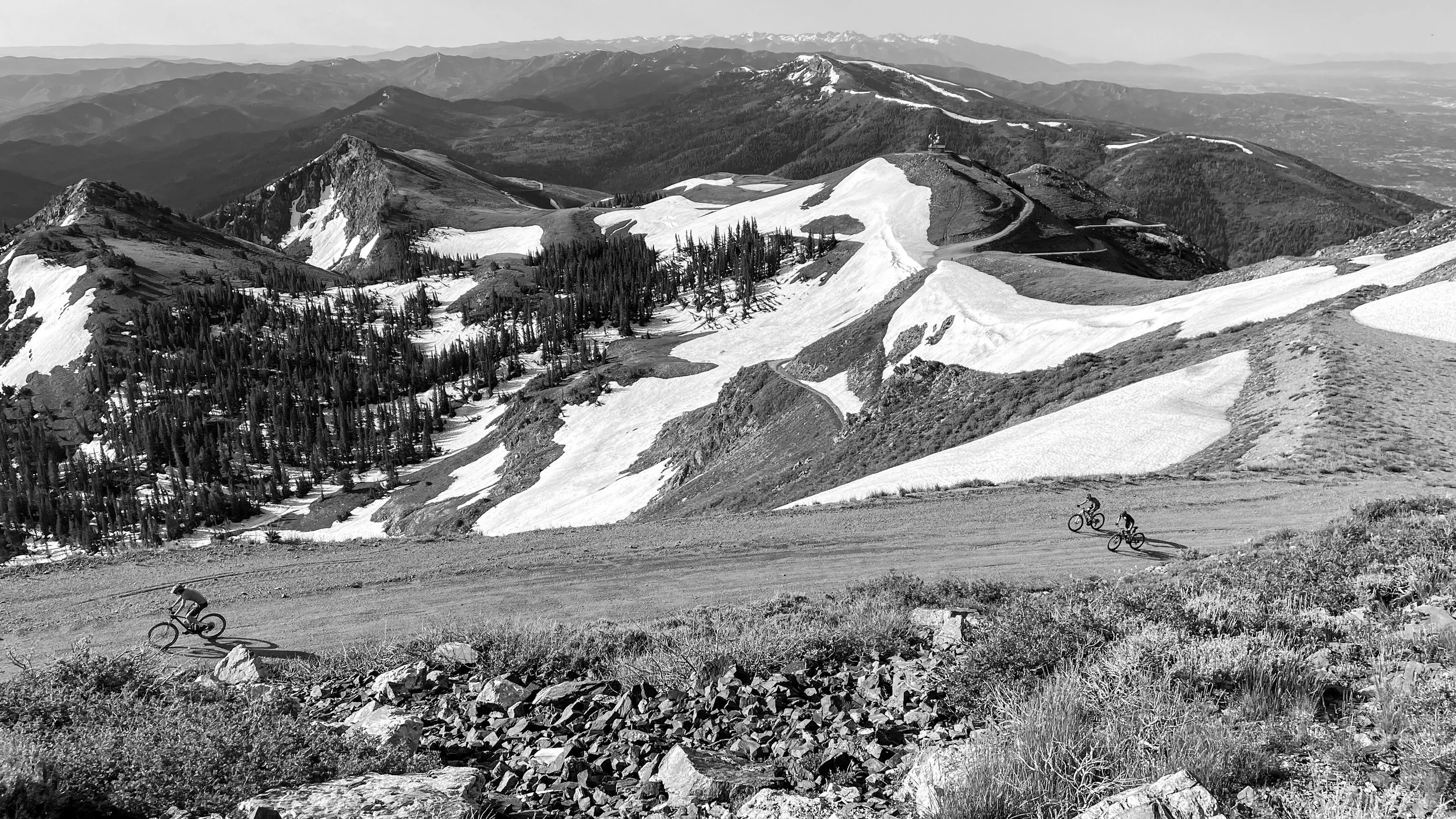
Mountain landscape in black and white with snow patches on peaks and slopes, several cyclists riding along a dirt road, dense forest on hillsides, distant mountain ranges.

L E T S R I D E